REFERENCE PROJECTS
| Reference Projects |
Acronym | Customer | Status | Activity | Role | Link |
| Heritage Observation Under Sand In cooperation with Rovsing A/S (DK). Topic: Remote sensing application for cultural heritage in Egypt. |
HORUS | European Space Agency | Completed. | Management | Consultancy | WEB |
| PlAnetary Geoscience Information System in cooperation with International Research School Of Planetary Science (IRSPS, I). Topic: Geological mapping of Mars surface using planetary data from ESA and NASA missions |
PAGIS | Italian Space Agency | Completed. | Management, Quality Assurance | Consultancy | WEB |
| World Heritage Monitoring by remote sensing in cooperation with NAIS Srl (I). Topic: Monitoring UNESCO sites in urban area using remote sensing techniques. |
WHERE | Italian Space Agency | Completed. | Software Development, dissemination and exploitation | Subcontractor | WEB |
| Innovative Technologies fand Application for coastal Archaeological sites in partnership with Planetek Hellas (GR). Topic: Remote sensing application for underwater cultural heritage. |
ITACA | European commission FP-7 Space |
On going. KO held in January 2014 |
Software Development and dissemination | Partner | WEB |
| Advanced procedures for Volcanic and seismic monitoring in partnership with Italian Institute for Geophysics and Volcanology (INGV, I). Topic: Innovative methods for ash plume and earthquake monitoring by remote sensing |
APHORISM | European commission FP-7 Space |
On going KO held in December 2013; |
Exploitation and dissemination | Partner | WEB |
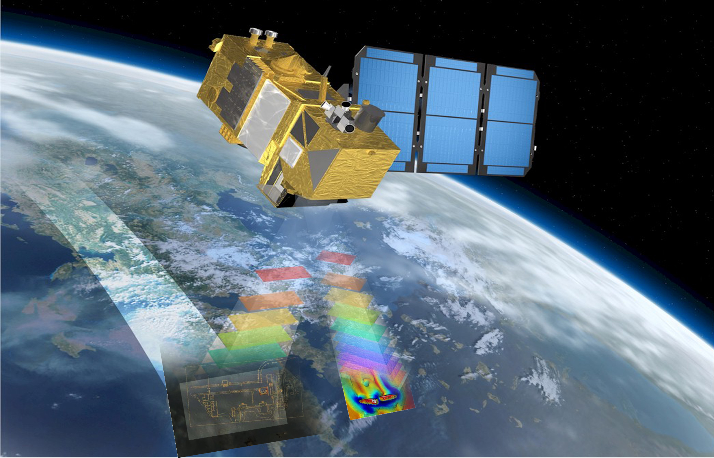
| Satellite assets Integration for Maritime situatiON Awareness. Demonstration project under ARTES-20 schema in partnership with Engineerin Srl (I). Topic: Bathymetry mapping using multispectral and SAR remote sensing data |
SIMONA | European Space Agency | Ongoing KO held 10/09/2014 |
Expert consultancy and software development | Subcontractor | WEB |
| CLIMA (Cultural Landscape risk Identification, Management and Assessment ) addresses the design and development of a multi-task platform, combining advanced remote sensing technologies with GIS application for mapping and long term monitoring of archeological cultural landscapes to identify changes due to climate changes and anthropic pressure |
CLIMA | JPI-CH | Contract preparation | Software Development,Exploitation | Partner | WEB |
| Commercial feasibility of an innovative phase array antenna based on plasma technologies for navigation application in the aviation sector. |
PALADIN | European CommissionH2020-SME Instrument | Grant Signed | Business Plan | Coordinator | Not available |
| Development of an innovative concept of phased array antenna based on plasma technologies and development of a prototype demonstrator for terrestrial navigation application. |
STARLET | Italian Space Agency | Contract preparation | Software development,Management & PA Support,Business Plan | Subcontractor | Not available |
| EVER-EST (European Virtual Environment for Research – Earth Science Themes: a solution). The EVER-EST project will enhance Research and Capacity Building in the Earth Science (ES) domain, by providing a generic Service Oriented-based Architecture Virtual Research Environment (VRE) tailored to the needs of the ES community. |
EVER-EST | European CommissionH2020 – EINFRA-9-2015 | Grant Preparation | System and Software Engineering | Partner | WEB |